|
Freshwater Hut to North Arm Hut (red dot),
then all the way out to the yellow star
(map courtesy of Google)
|
I couldn't have asked for better weather conditions for my big hike; clear skies, cool temperatures and no wind. After a hearty breakfast and words of wisdom from other trampers, I left the hut at 8.15am and set off, smiling at the inspirational messages on the track markers as I passed each one.
 |
| Profile of Coast to Coast, courtesy of DOC brochure |
 |
Topo map of Freshwater Hut to North Arm, courtesy of Google
|
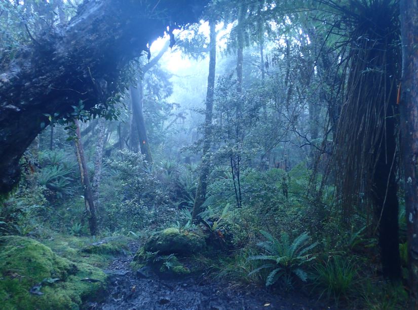
It took me about an hour to the start of the really steep bit where I struggled initially until I realised that wearing a raincoat was the reason for overheating. A tramper at the hut suggested taking a manuka stick and that was invaluable, both for balance and for testing the depth of mud! Slowly (very slowly in places, ha ha) and surely I plodded along, taking photos where possible.
I had heard that there's no real view from 'the top' but there were tantalising glimpses towards the top as you progress along a stream bed. I'm sure this would be a raging torrent in wet weather but fortunately there hadn't been much rain for the previous fortnight so a tame burbling brook for my crossing.
 |
| Glimpses of sun-soaked ridges |
 |
| Looking back at the stream-bed section |
I hadn't seen a lot of wildlife on the way up but birds come when you're still and calm, not puffing like a steam train and squelching through the mud! I checked my GPS occasionally to ensure I was making progress and it was very satisfying to reach the end of the uphill before midday. What a gorgeous bit of track along the ridge - the sun was streaming through, there was heaps of kiwi sign and fab views over bush clad hills and down into Paterson Inlet.
 |
| At the top of Thomson Ridge (about 430m) |
 |
| Looking ?south |
 |
| Looking back over Freshwater Valley and the west coast |
 |
| Walking in kiwi footprints |
 |
| Sunshine and boardwalk at the top of Thomson Ridge |
 |
| Looking south-east over Paterson Inlet |
 |
| Starting the downhill bit |
A good place to pause here and continue in my next blog...